3,200 acres
Of open water, with about 62 miles of natural shoreline and no private development.

Home / Local area / Carters Lake
Local areaThe deepest reservoir in Georgia, west of the cabin in the foothills of the Blue Ridge. No private docks and no houses on the shore, just water, ridges and trees.
Carters Lake is run by the U.S. Army Corps of Engineers. Areas, fees and seasons change, so each section links to the group that sets the rules.
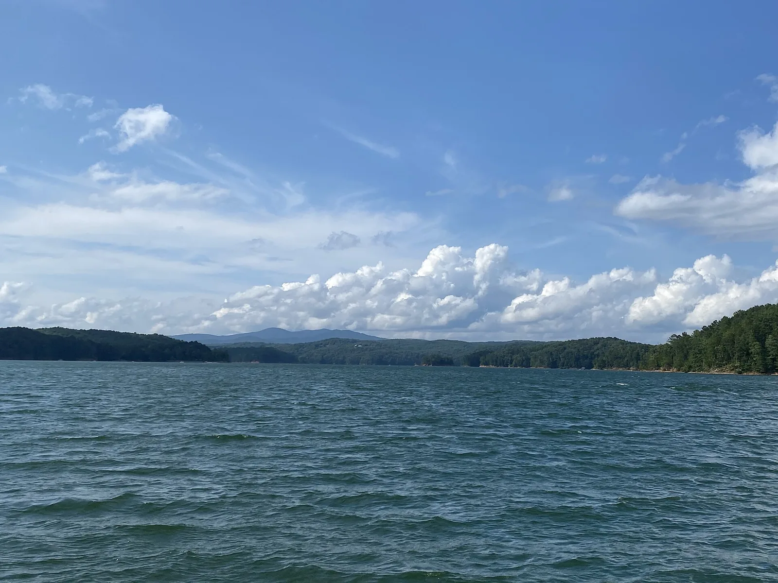 Carters Lake in summer. Photo: Tamparitus, CC BY-SA 4.0
The lake
The Corps completed Carters Dam in 1977 on the Coosawattee River, the same river that starts in Ellijay where the Ellijay and Cartecay rivers meet.
Of open water, with about 62 miles of natural shoreline and no private development.
On average, and more than 450 feet in places, the deepest reservoir lake in Georgia.
Carters Dam is described as the tallest earthen dam east of the Mississippi River.
Water runs down to generate power during the day and is pumped back up at night to be used again.
More from the U.S. Army Corps of Engineers, Mobile District, Explore Georgia and Lakelubbers. The lake is named for Farrish Carter, a 19th century landowner.
Trails
The closest trailheads to the cabin are on the Ellijay side of the lake, in the Ridgeway area and along the north shore. Leashed dogs are welcome on all three.
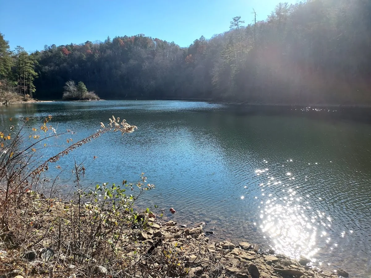
About a mile round trip from the Ridgeway Recreation Area, past waterfalls on Tails Creek, over a bridge about 30 feet high, to an observation deck above the upper falls.
Easy to moderate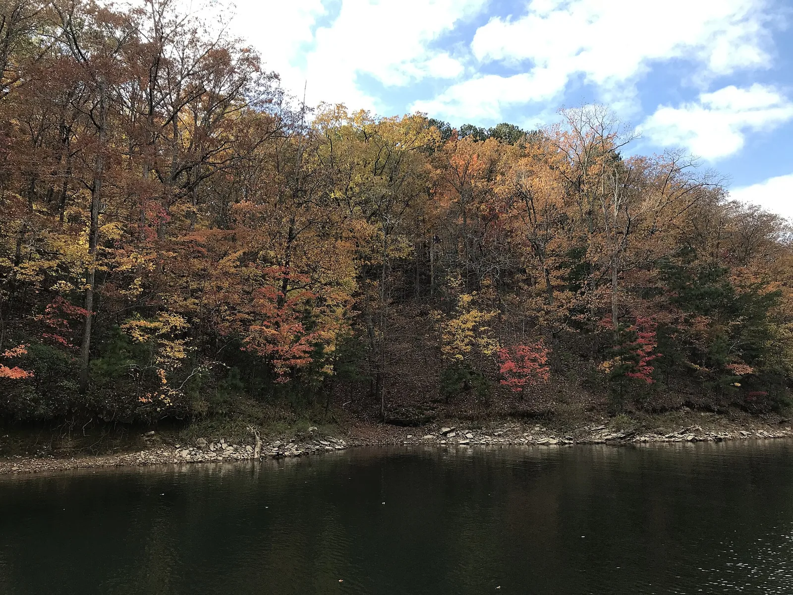
About 1.6 miles round trip on the north shore: a loop around a grassy inlet where morning fog often settles, then out to a small peninsula with open lake views.
Easy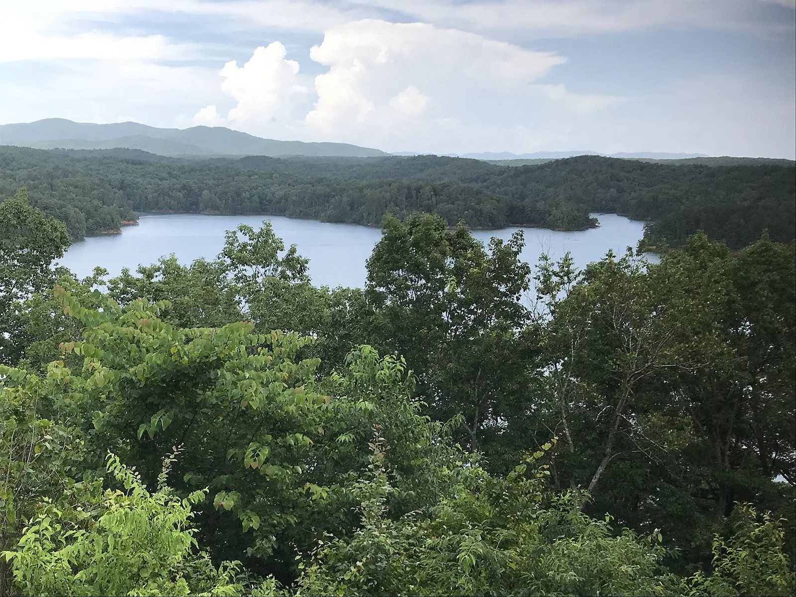
A 4 mile loop that starts in the woods and opens onto wide views over the water, with spots to reach the lakefront.
ModerateTrail details: Atlanta Trails (Tumbling Waters, Oak Ridge) and Hiking Project (Amadahy). Photos: Tumbling Waters from Discover Ellijay; lake photos by Tamparitus and Tamparitus, CC BY-SA 4.0, via Wikimedia Commons.
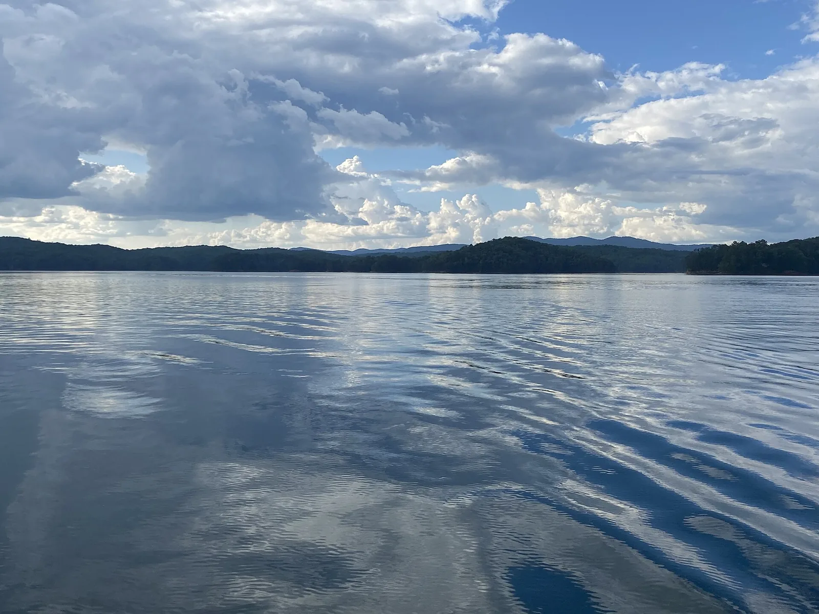
Calm water on Carters Lake. Photo: Tamparitus, CC BY-SA 4.0.
Boating
Carters Lake Marina and Resort is a private, full-service marina on the lake's west side. It rents pontoon boats, houseboats and tubes, and runs a store, snack bar and fuel dock open to everyone on the lake.
It is open daily from 10 a.m. to 5 p.m., with shorter store hours from November through March, so call ahead: (706) 276-4891. Public boat ramps are spread around the lake, run by the Corps.
Fishing
Anglers fish Carters Lake for striped and hybrid bass, walleye, largemouth and smallmouth bass, crappie, bream and catfish. Georgia's Wildlife Resources Division stocks walleye, striped bass and hybrid bass.
The banks are steep, so most fishing is from a boat, a fishing dock or the fishing piers at Doll Mountain and the reregulation dam. Below the main dam, the lower pool and the Coosawattee River are fished too.
More at Lakelubbers and the Corps Lakes Gateway.
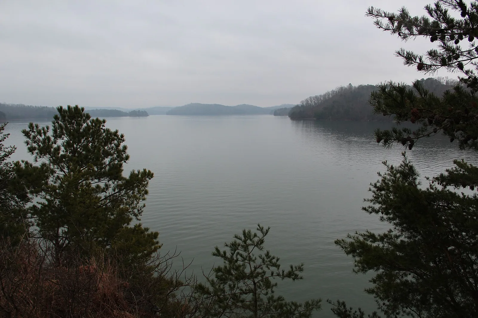
Carters Lake in February. Photo: Thomson M, CC BY 3.0.
Camping and picnics
The Corps rents picnic shelters and campsites through Recreation.gov. Camping is a separate reservation, not part of a cabin stay.
The largest campground, with a fishing pier, courtesy dock and day-use shelter. Listed from $26 a night.
A campground and a primitive area on the north shore, near the Amadahy and Oak Ridge trails. Listed from $10 a night.
Reservable shelters at Woodring, Doll Mountain, Northbank, the Damsite and the reregulation dam, listed from $30 a day.
Picnic tables, a courtesy dock, and hiking and biking trails on the Ellijay side of the lake.
Prices as listed on Recreation.gov. Questions: Carters Lake project office, (706) 334-2248.
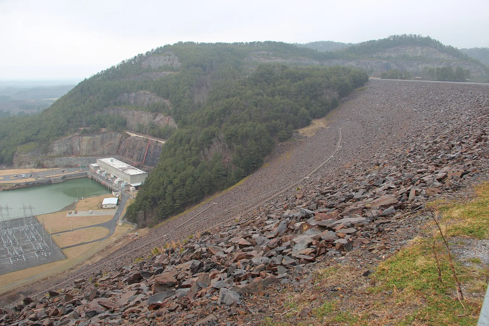
Carters Dam and the powerhouse. Photo: Thomson M, CC BY 3.0.
Plan a lake day
Walk Tumbling Waters while it is cool, take a pontoon out for the afternoon, and be back at the cabin before the light goes.
On the way, Engelheim Vineyards sits off Lakeview Road on the Ellijay side of the lake. See the wineries guide.
Conditions
Current conditions and the next five days, so you can pick a lake day or a fireside day.
Select your dates and start planning your stay.